
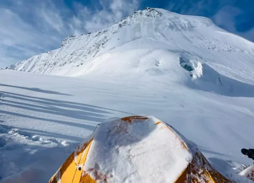
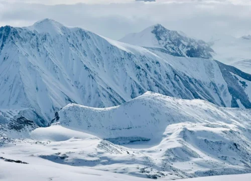
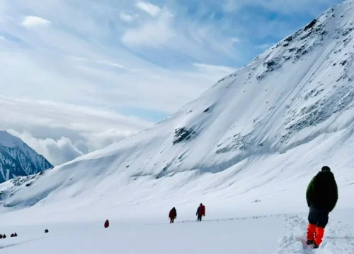
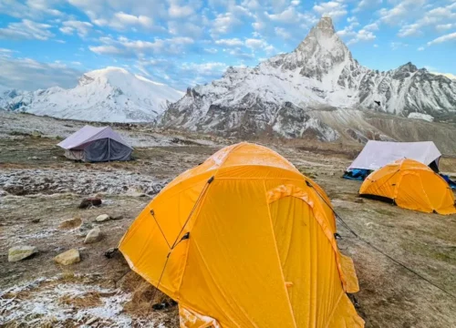
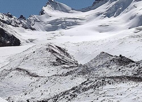
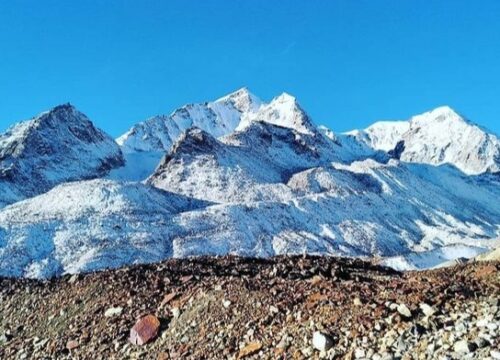
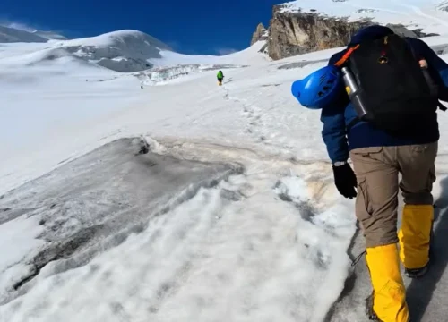
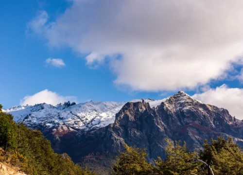
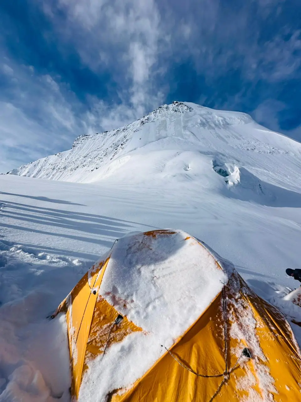
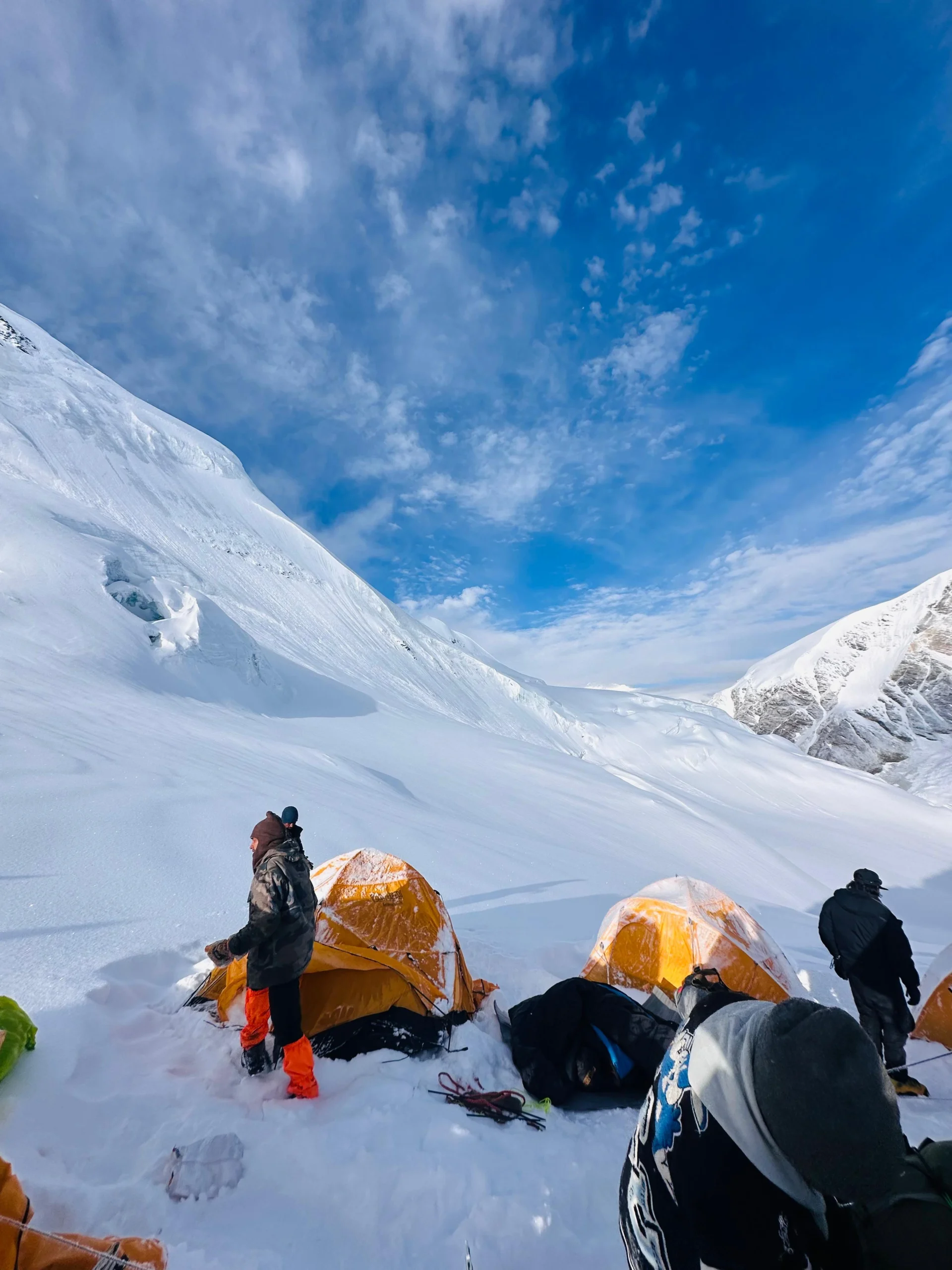
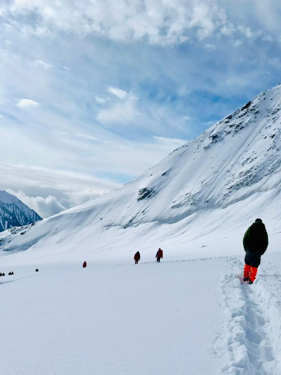
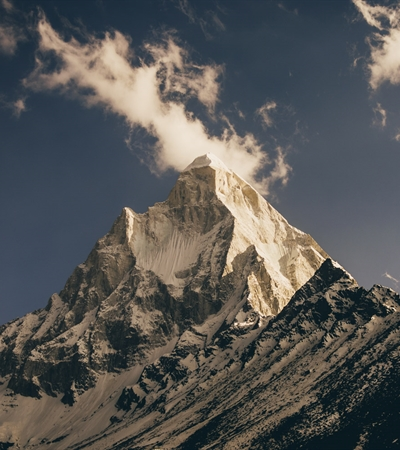
Kalindi pass, or Kalindi khal is a high altitude mountain pass connecting Gangotri and Badrinath. It is situated at 5,942 metres (19,495 ft) elevation and is arguably the most famous trekking pass of the Garhwal Himalaya. The pass is heavily glaciated. The glacier west of the pass flows into the Gangotri Glacier which forms the source of the Ganges.

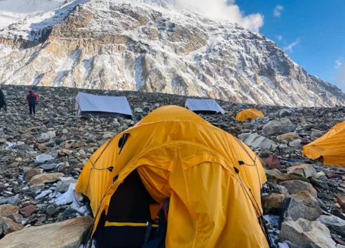
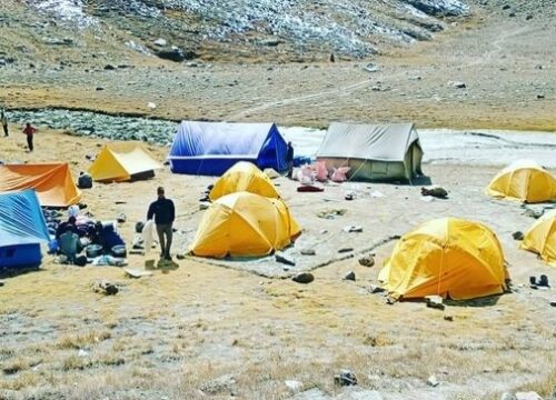
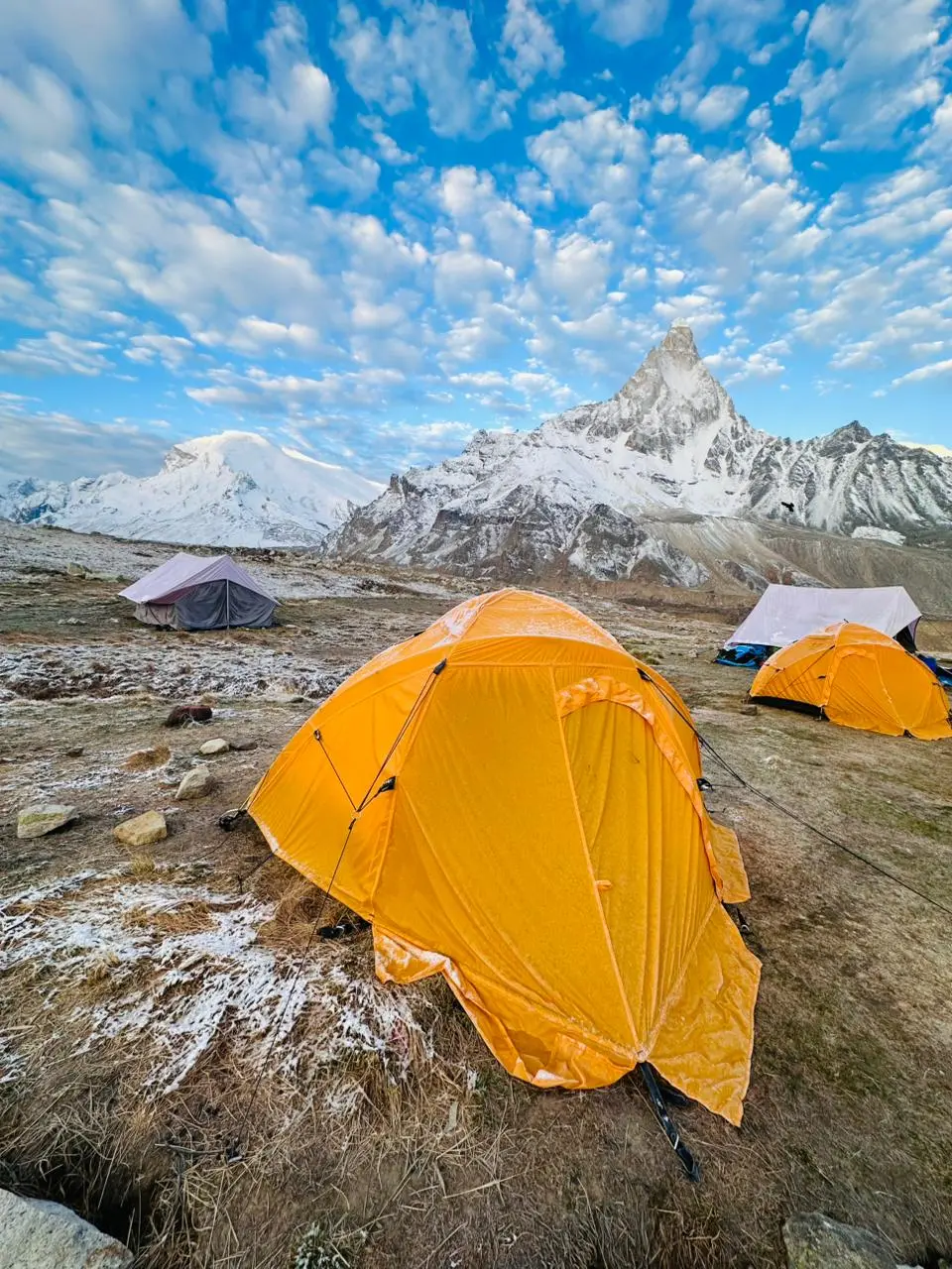
Advance Facilities
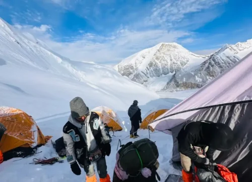
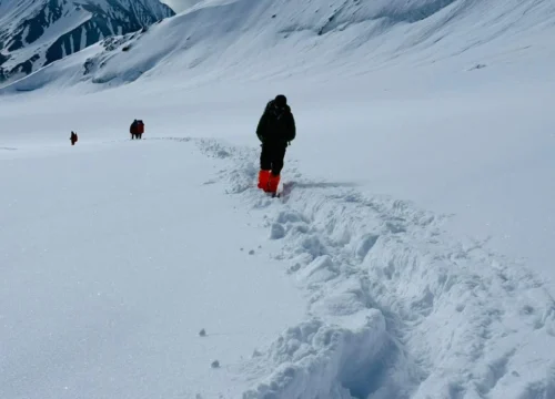
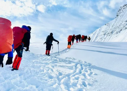
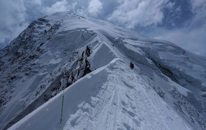
Challenge
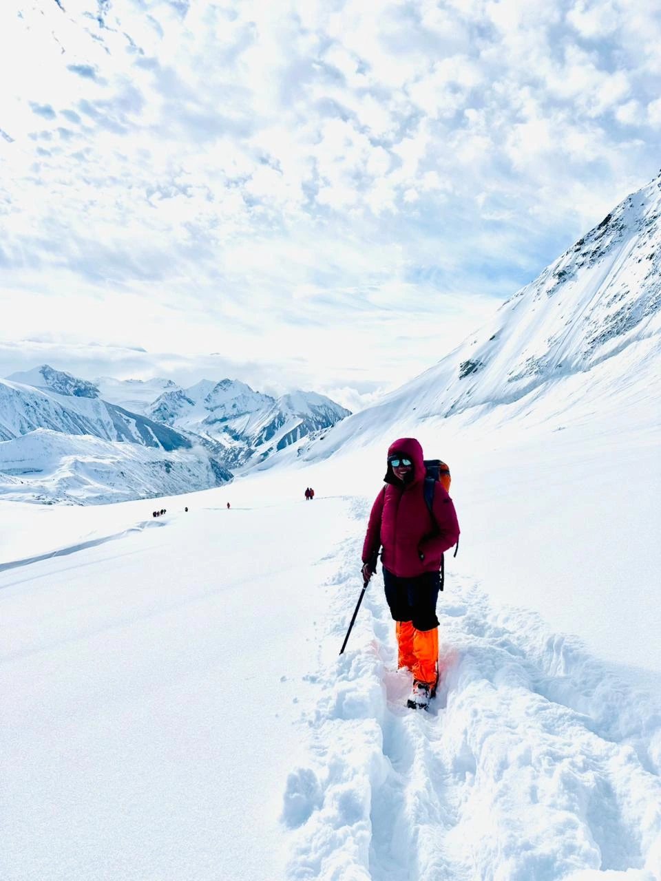
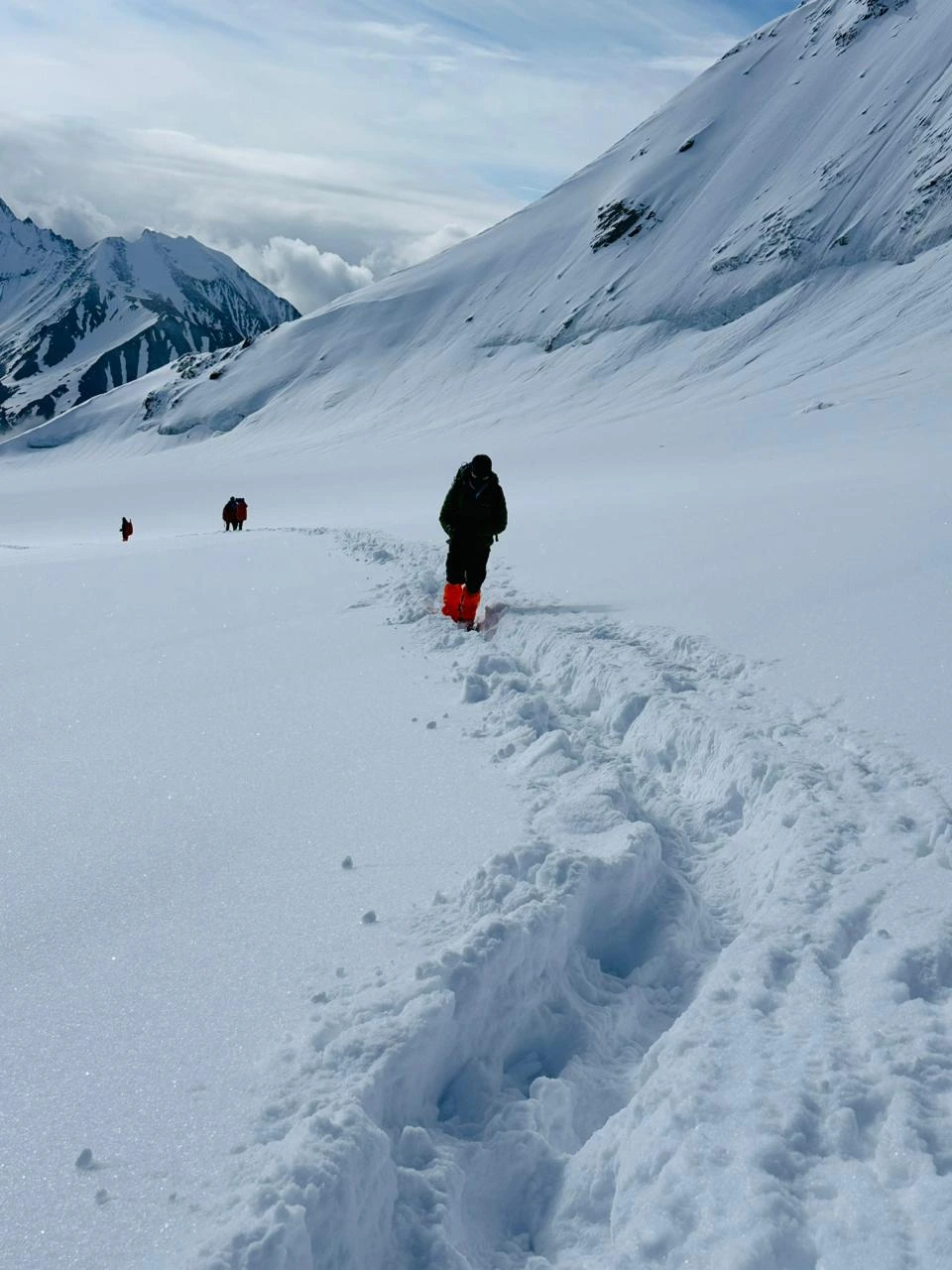
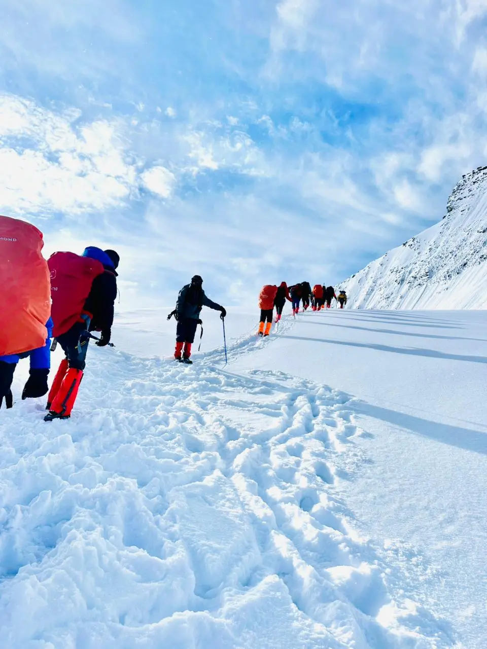
- High Altitude: Extreme elevation increases the risk of altitude sickness.
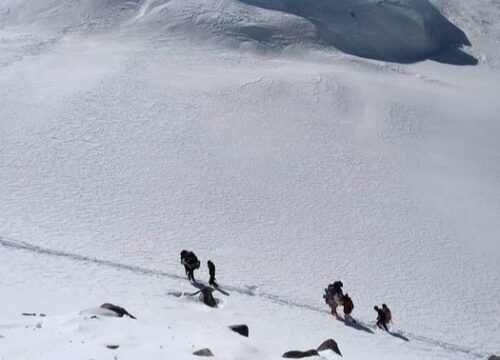
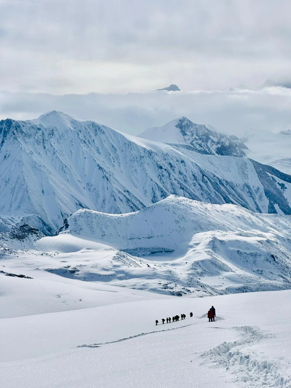
- Technical Terrain: Difficult and technical crossings, including glaciers, crevasses, and steep ascents.
- Harsh Weather: Unpredictable and severe weather conditions, with snowstorms and freezing temperatures.
History
John Bicknell Auden mentioned this col in a report of his survey of the Garwhal himal in 1936.
“An easy col of 19,500 feet at the east end of the south-east branch of the Mana glacier, 4 miles to the east of which is the Saraswati valley”
but never climbed it as he needed to return the same way to Gangotri. Swami Probodhanandawas, inspired by John Bicknell Auden‘s account, organized the first Indian expedition to cross this pass. The expedition was undertaken in 1945 under the leadership of Swami Probodhananda and guidance of Dileep Singh who ascended the pass on 22 July 1945.


