Explore The Worlds

People Don’t Take, Trips Take People

Auden’s Col Trek & Expedition

From

Duration

13 days

Tour Type

4.67 by 3 reviews
  • Quality4.67
  • Location4.67
  • Amenities4.67
  • Services5
  • Price4.33

Explore Tours

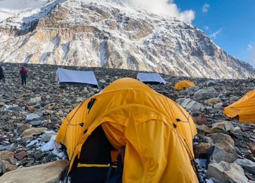
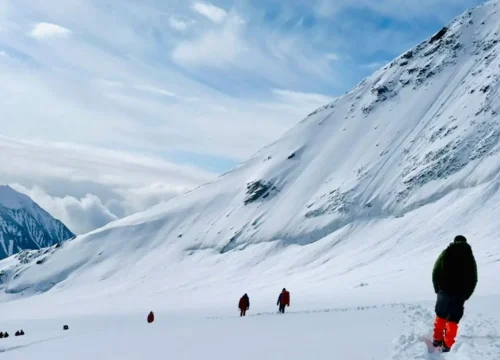
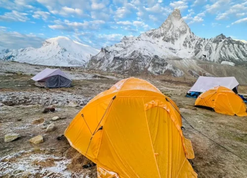
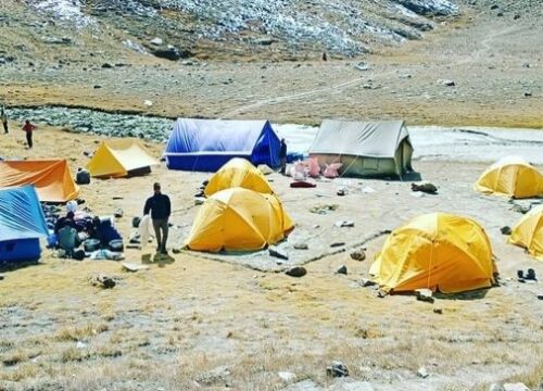
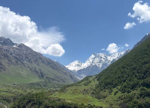
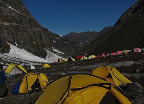
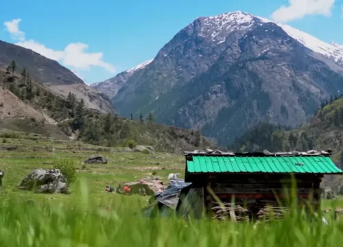
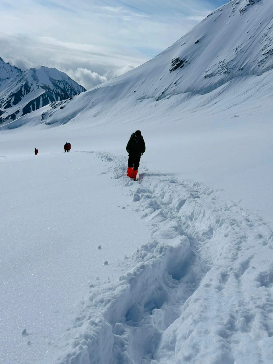
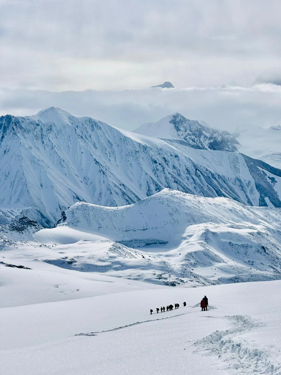
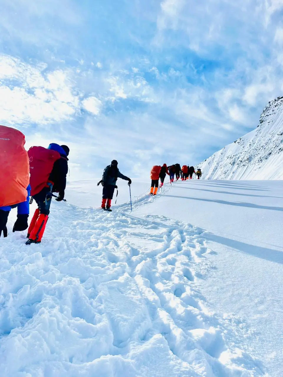
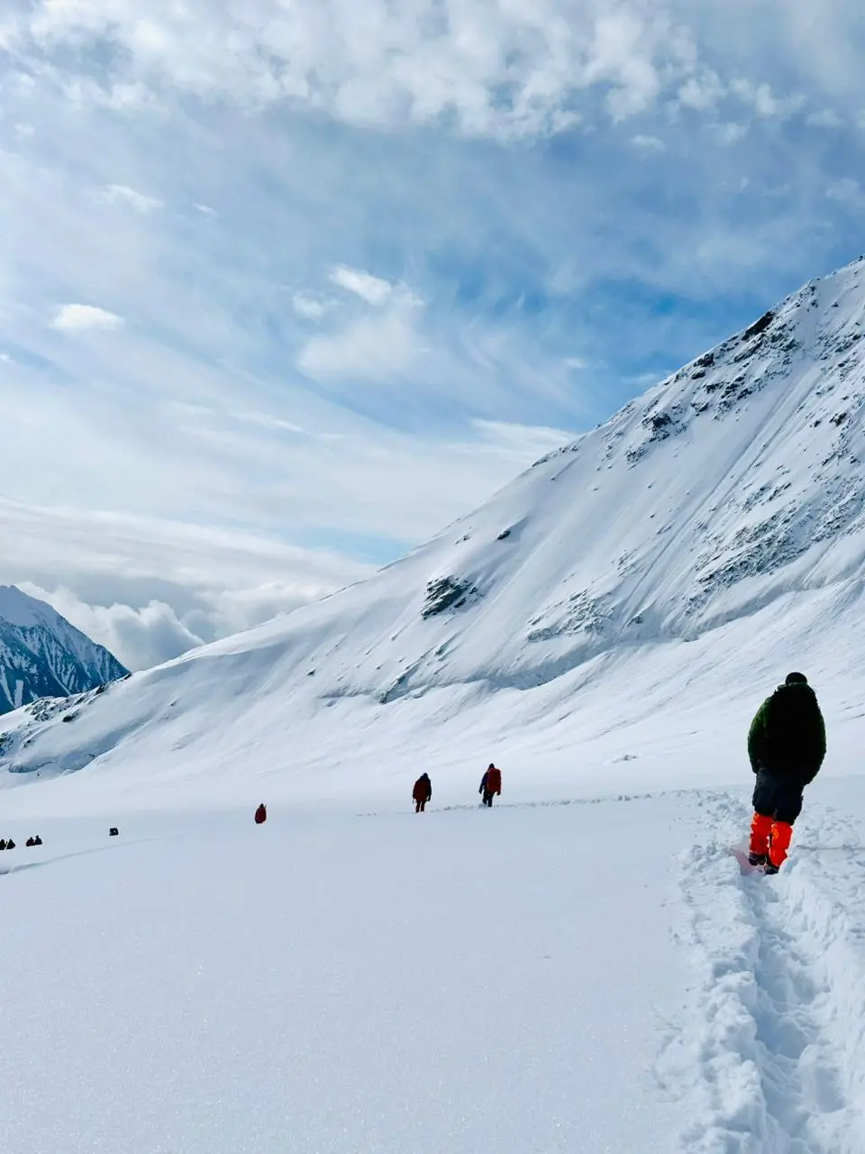
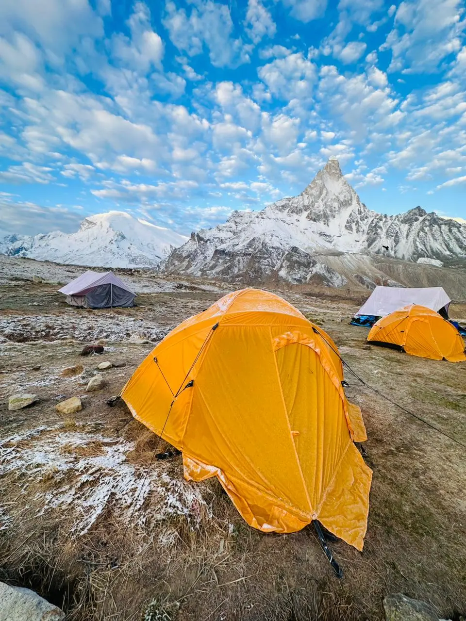
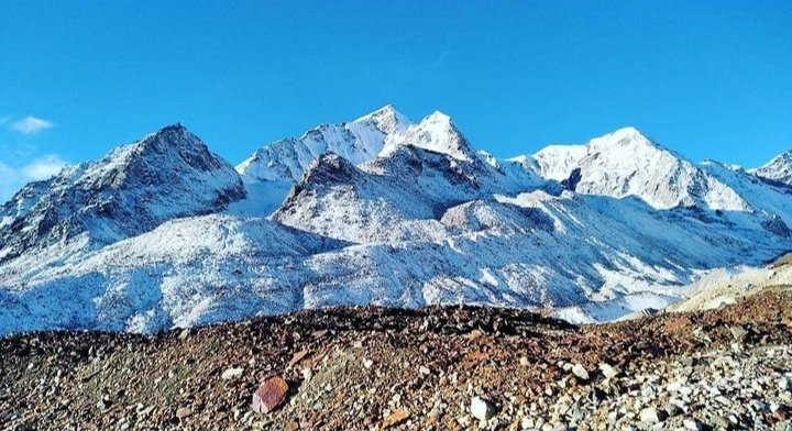
Auden’s Col Trek ek high-altitude aur challenging Himalayan expedition hai jo Gangotri se Kedarnath tak jata hai. Is trek me aap Auden’s Col (5,500 m) aur Mayali Pass (5,000 m) cross karte ho, saath hi glaciers, valleys aur alpine lakes ka amazing experience milta hai.

WhatsApp Image 2026 04 12 at 11.32.07 AM


Advance Facilities

  • 12 Nights – 13 Days
  • Dehradun ➝ Gangotri ➝ Auden’s Col ➝ Mayali Pass ➝ Kedarnath
  • 70,000 INR + GST (per person)

Challenge

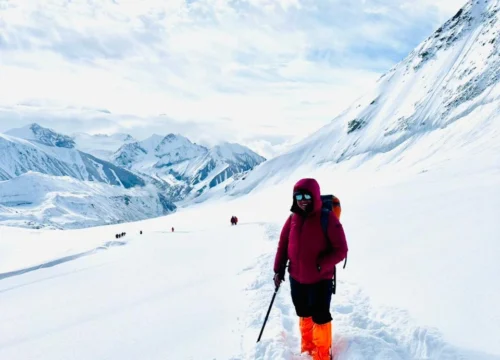
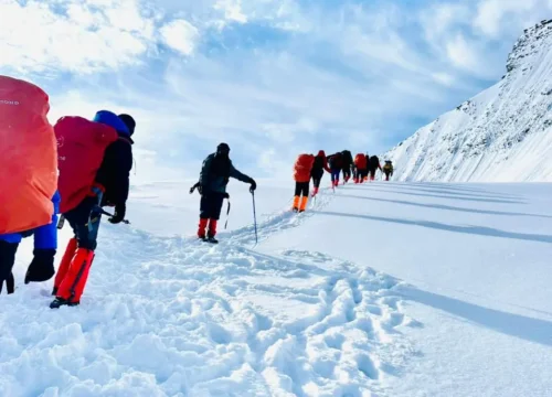
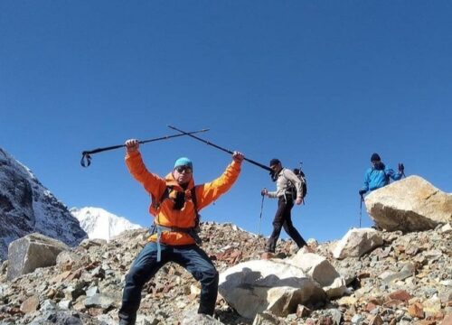
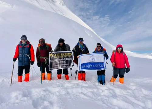
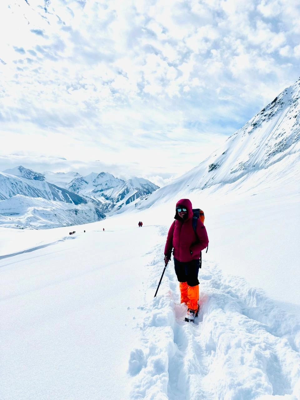
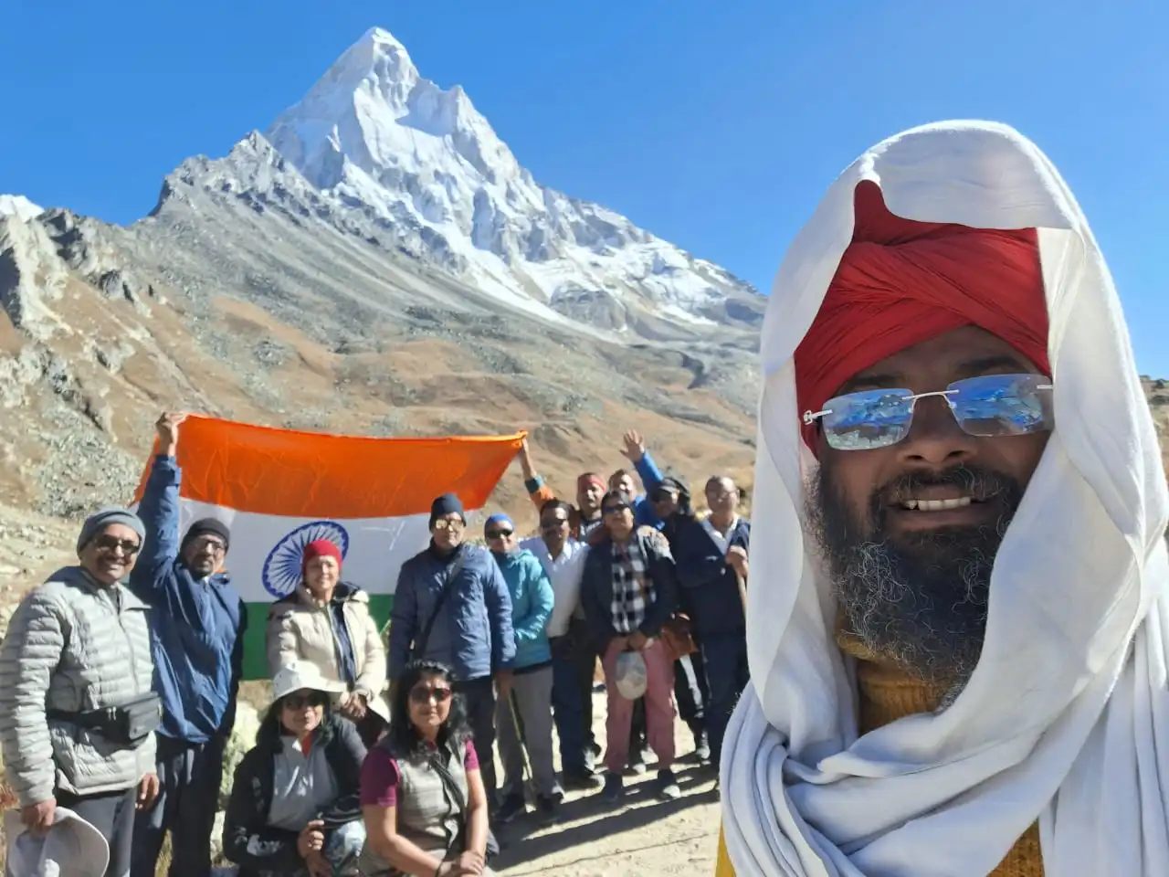
  • Dual Pass Conquest: Summit the formidable Auden’s Col (5,490 m) and the spectacular Mayali Pass (5,000 m) in a single expedition.

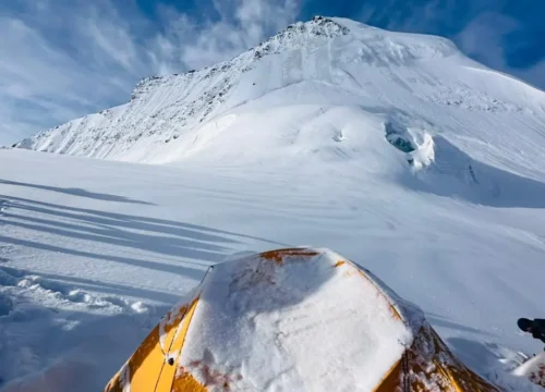
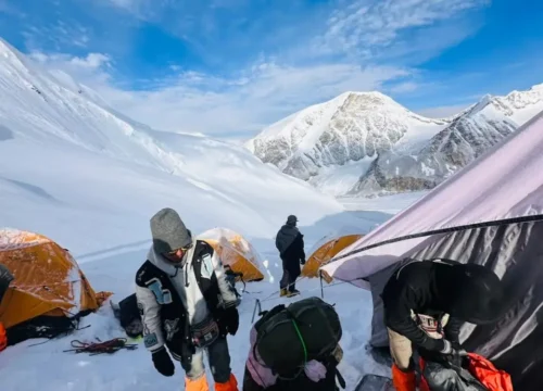
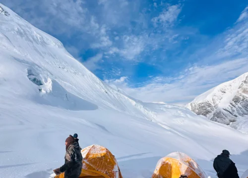
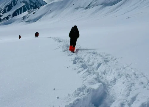
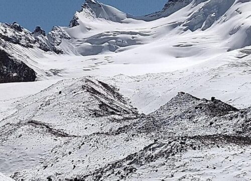
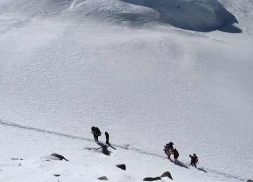
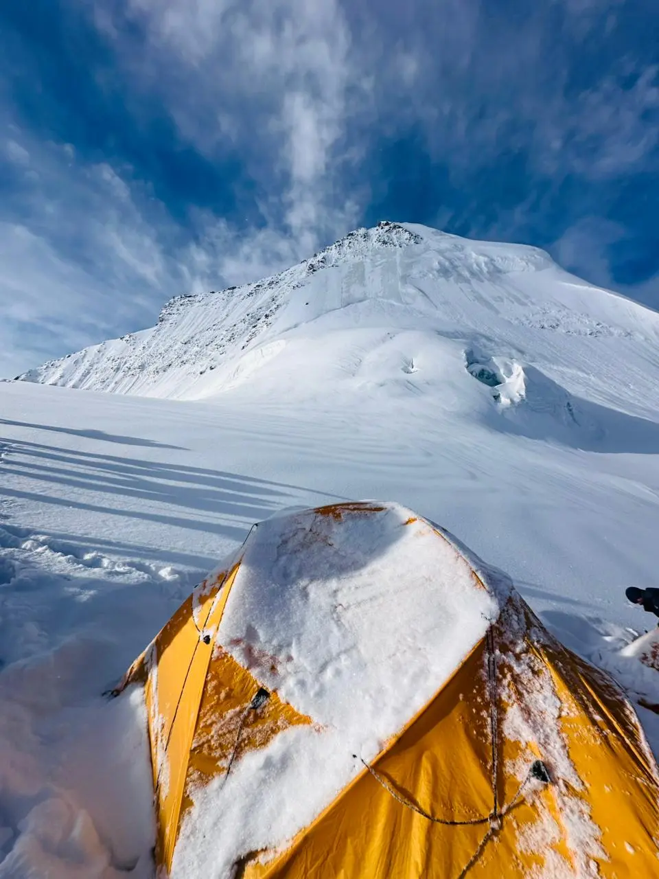
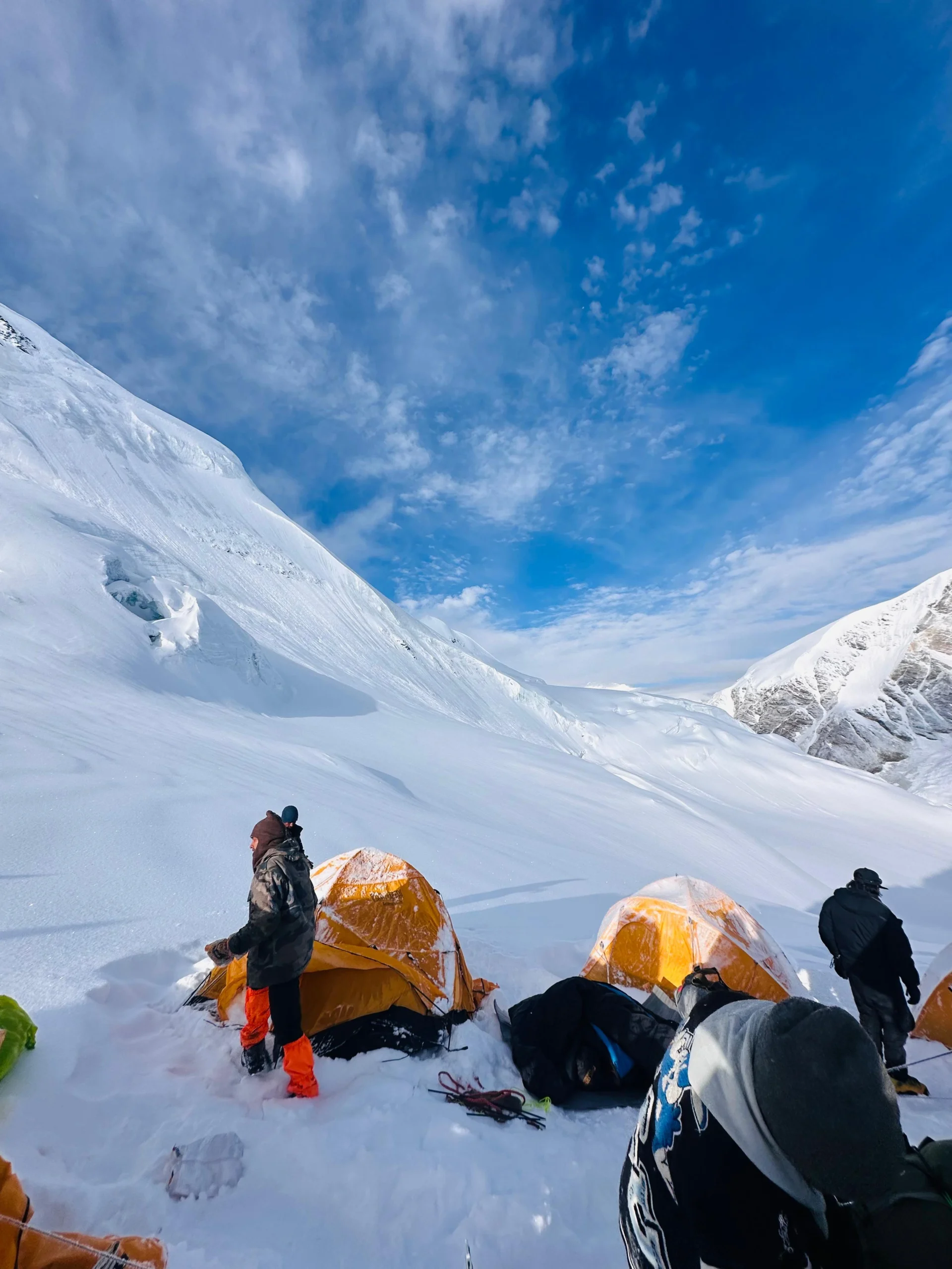
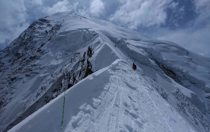
  • Technical Terrain: Navigate the treacherous crevasses of the Khatling Glacier and tackle steep, challenging ice slopes.

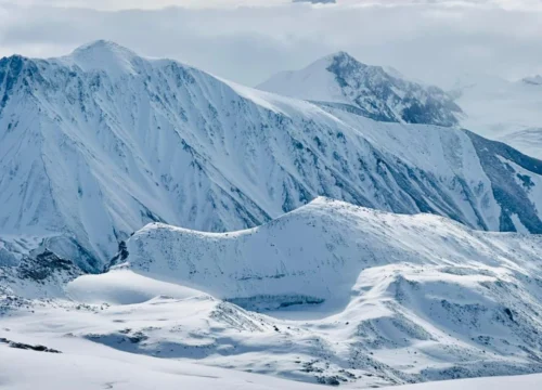
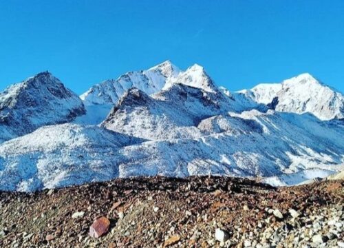
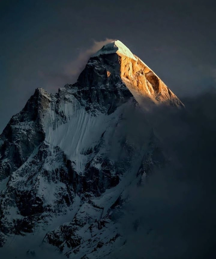
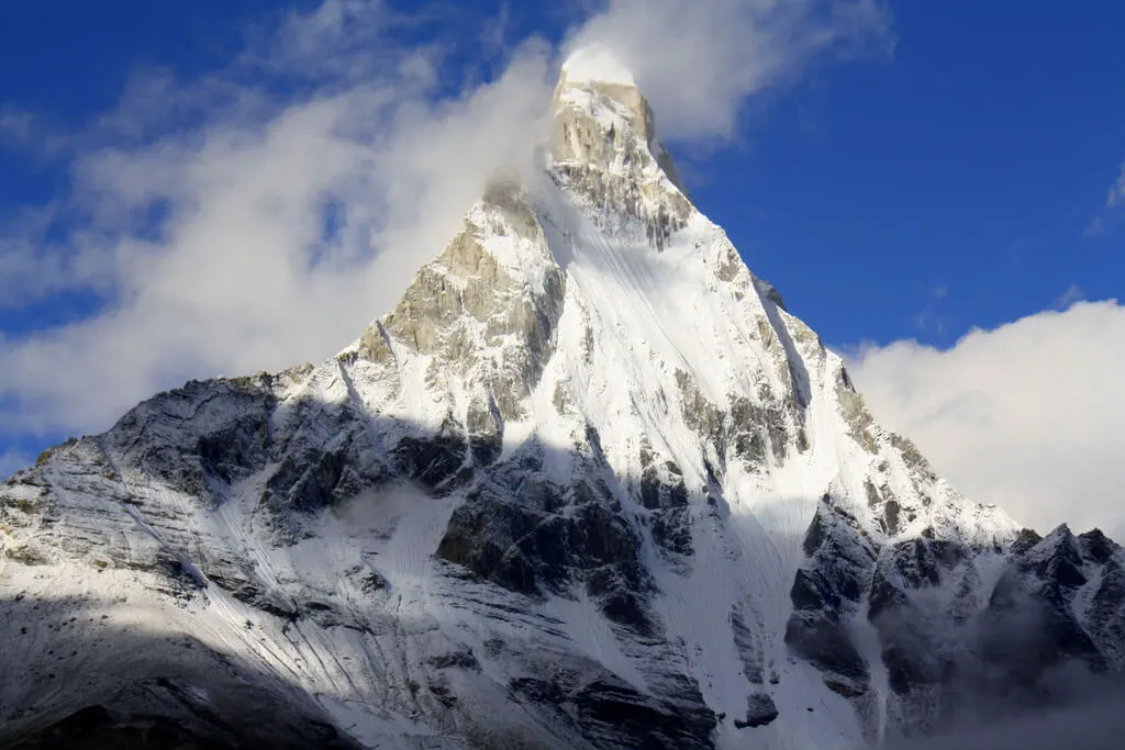
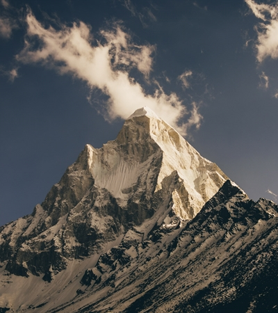
  • Breathtaking Vistas: Behold unparalleled, panoramic views of the Bhagirathi Group, Jogin Peaks, and the majestic Gangotri Range.

  • High-Altitude Lakes: Experience the serene and pristine beauty of Masar Tal and Vasuki Tal, two of the most secluded lakes in the Himalayas.


History

Discovery by J.B. Auden (1939)

The pass is named after John Bicknell Auden, a distinguished British geologist with the Geological Survey of India. In 1939, during his explorations of the Garhwal Himalayas, Auden discovered this high-altitude ridge connecting the Jogin I and Gangotri III peaks. His discovery successfully linked the Rudugaira valley (Gangotri side) with the Bhilangana valley (Khatling Glacier side).

The First Crossing (1983)

Despite its discovery in 1939, the pass remained uncrossed for decades due to its extreme technical difficulty and the treacherous nature of the Khatling Glacier. It wasn’t until 1983 that a team from the Himalayan Association of Calcutta, led by Harish Kapadia, successfully completed the first recorded crossing of the Col, solidifying its reputation as a legendary mountaineering route.

The Connection of Two Glaciers

Historically, the route was significant because it bridged two of the most massive glacial systems in the Garhwal region: the Khatling Glacier and the Gangotri Glacier system. Today, it remains a “holy grail” for trekkers, as it connects two of India’s most sacred pilgrimage sites, Gangotri and Kedarnath, via a high-altitude wilderness trail.

Included/Exclude

  • Food and Accommodation in Trek
  • Forest Permissions
  • Guides
  • Kitchen Staff and Porters
  • Additional Services
  • Insurance
  • Food & Drinks
  • Tickets

Tour Amenities

Accepts Credit Cards
Laundry Service
Outdoor Seating
Reservations
Restaurant
Smoking Allowed

Tour Plan

Altitude: 3,100 m / 10,200 ft
Distance: 250 km
Duration: 9–10 hours

  • Starting Point: The journey begins from Dehradun early in the morning.
  • Road Journey: Drive through Mussoorie, Uttarkashi, and Harsil valley.
  • River Views: Enjoy continuous views of the Bhagirathi River.
  • Mountain Towns: Pass small Himalayan villages and apple orchards.
  • Altitude Gain: Gradual rise in altitude prepares the body naturally.
  • Climate Change: Weather becomes cooler as you reach Gangotri.
  • Pilgrimage Town: Gangotri is one of the Char Dham pilgrimage sites.
  • Temple Visit: Visit Gangotri Temple if time and energy allow.
  • Evening Rest: Light walk and rest to adjust to the altitude.
  • Overnight Stay: Stay in a guesthouse or camp arranged by Satt Expeds.

Altitude: 3,750 m / 12,300 ft
Trek Distance: 8 km
Duration: 6–7 hours

  • Trek Start Point: Trek begins from Gangotri after breakfast.
  • Trail Condition: Well-defined trail with gradual ascent.
  • Valley Entry: Enter the beautiful Rudugaira Valley.
  • Forest Walk: Walk through pine and alpine forest sections.
  • Water Sources: Natural streams available along the trail.
  • Mountain Views: Surrounded by high Himalayan peaks.
  • Terrain Type: Mix of rocky paths and grassy patches.
  • Altitude Awareness: Oxygen level slightly decreases, maintain steady pace.
  • Peaceful Surroundings: Less crowded and untouched region.
  • Night Halt: Camp stay at Nala Camp.

Altitude: 4,350 m / 14,300 ft
Trek Distance: 7 km
Duration: 7–8 hours

  • Trek Start: Begin trek after breakfast.
  • Trail Condition: Narrow and rocky mountain trails.
  • Altitude Gain: Noticeable climb towards higher altitude.
  • Glacier Views: First views of glacier and snow patches.
  • Landscape: Open valley with dramatic mountain backdrop.
  • Weather: Cooler and windy conditions.
  • Terrain Type: Rocky and uneven paths.
  • Energy Level: Maintain slow and steady pace.
  • Night Halt: Camp stay at Rudugaira Camp.

Altitude: 4,350 m / 14,300 ft
Duration: 3–4 hours (light activity)

  • Purpose: Proper acclimatization to high altitude.
  • Short Hike: Light walk around campsite.
  • Health Focus: Hydration and rest are important.
  • Preparation: Check gear and equipment.
  • Body Adjustment: Helps prevent altitude sickness.
  • Relaxation: Spend time enjoying mountain views.
  • Night Halt: Stay at same campsite.

Altitude: 4,750 m / 15,600 ft
Trek Distance: 8 km
Duration: 6–7 hours

  • Trek Start: Early morning departure.
  • Trail Condition: Steep ascent with rocky terrain.
  • Glacier Zone: Enter high-altitude glacier region.
  • Views: Snow-covered peaks and open landscapes.
  • Altitude Gain: Significant climb.
  • Temperature: Cold and windy conditions.
  • Terrain Type: Rocky and icy patches.
  • Night Halt: Camp at Auden’s Col Base Camp.

Altitude: 5,000 m / 16,400 ft
Trek Distance: 12 km
Duration: 10–12 hours

  • Early Start: Begin trek before sunrise.
  • Main Highlight: Cross Auden’s Col (5,500 m).
  • Technical Section: Snow, ice, and steep climb.
  • Difficulty Level: Most challenging day of the expedition.
  • Panoramic Views: Stunning Himalayan scenery.
  • Descent: Carefully descend towards Khatling Glacier.
  • Terrain Type: Glacier and snowfields.
  • Night Halt: Camp near Khatling Glacier.

Altitude: 3,900 m / 12,800 ft
Trek Distance: 11 km
Duration: 9–10 hours

  • Trail Type: Long glacier descent.
  • Scenery: Ice formations and waterfalls.
  • Water Sources: Fresh glacial streams.
  • Terrain Type: Rocky and slippery sections.
  • Energy Level: Moderate effort required.
  • Views: Beautiful valley landscapes.
  • Night Halt: Camp at Waterfall Camp.

Altitude: 3,900 m / 12,800 ft

  • Purpose: Recovery after long trek.
  • Activity: Light movement and stretching.
  • Health Care: Proper rest and hydration.
  • Relaxation: Enjoy nature and surroundings.
  • Night Halt: Stay at same campsite.

Altitude: 3,500 m / 11,500 ft
Trek Distance: 8 km
Duration: 5–6 hours

  • Trail Condition: Easy to moderate path.
  • Terrain: Meadows and forest sections.
  • Scenery: Green valleys and river views.
  • Weather: Pleasant trekking conditions.
  • Pace: Comfortable and relaxed walk.
  • Night Halt: Camp at Chowki.

Altitude: 3,750 m / 12,300 ft
Trek Distance: 8 km
Duration: 5–6 hours

  • Trek Start: Morning departure.
  • Trail Type: Gradual ascent through meadows.
  • Highlight: Visit beautiful Masar Tal lake.
  • Views: Scenic alpine surroundings.
  • Photography: Perfect spot for pictures.
  • Night Halt: Camp near Masar Tal.

Altitude: 4,200 m / 13,800 ft
Trek Distance: 12 km
Duration: 7–9 hours

  • Early Start: Begin trek early morning.
  • Main Highlight: Cross Mayali Pass (5,000 m).
  • Trail Condition: Steep and challenging climb.
  • Views: Panoramic Himalayan landscapes.
  • Descent: Down towards Vasuki Tal.
  • Terrain Type: Rocky and snow patches.
  • Night Halt: Camp at Vasuki Tal.

Altitude: 3,500 m / 11,600 ft
Trek Distance: 7 km
Duration: 3–5 hours

  • Trail Condition: Downhill trek.
  • Scenery: Rocky paths with mountain views.
  • Spiritual Stop: Visit Kedarnath Temple.
  • Atmosphere: Peaceful and sacred environment.
  • Relaxation: Rest after temple visit.
  • Night Halt: Stay near Kedarnath.

Altitude: 314 m / 1,030 ft
Distance: 220 km
Duration: 7–8 hours

  • Journey Start: Morning drive from Sonprayag.
  • Route: Scenic drive from mountains to plains.
  • Stopovers: Short breaks for meals and refreshment.
  • Views: Enjoy transition from Himalayan valleys to city landscapes.
  • Transportation Note:
    • Transportation from Dehradun to Gangotri is included and arranged by the company (one side).
    • Return transportation from Sonprayag onwards is not included; participants are required to arrange it on their own.
  • End Point: Reach Haridwar.
  • Conclusion: Expedition concludes with unforgettable Himalayan memories.

Related Tours

Review Scores

4.67/5
Wonderful
3 verified reviews
Quality 4.67/5
Location 4.67/5
Amenities 4.67/5
Services 5/5
Price 4.33/5

Add a Comment

Your email address will not be published.

  • Quality
  • Location
  • Amenities
  • Services
  • Price

Booking Tour

Tour Information

Max Guests

12

Min Age

12+

Tour Location

Languages Support

Last Minute Deals

Auden's Col
4.67 by 3 reviews
  • Quality4.67
  • Location4.67
  • Amenities4.67
  • Services5
  • Price4.33

Auden's Col

Lamkhaga Pass
4.67 by 3 reviews
  • Quality4.67
  • Location4.67
  • Amenities4.67
  • Services5
  • Price4.33

Lamkhaga Pass